GIS Mapping Program
Geospatial science, data, and technology along with decision makers, are critical components of Tribal programs. Decision makers use geospatial data in decisions every day, while this program works to bring the current state of available data into its most accurate and reliable form.
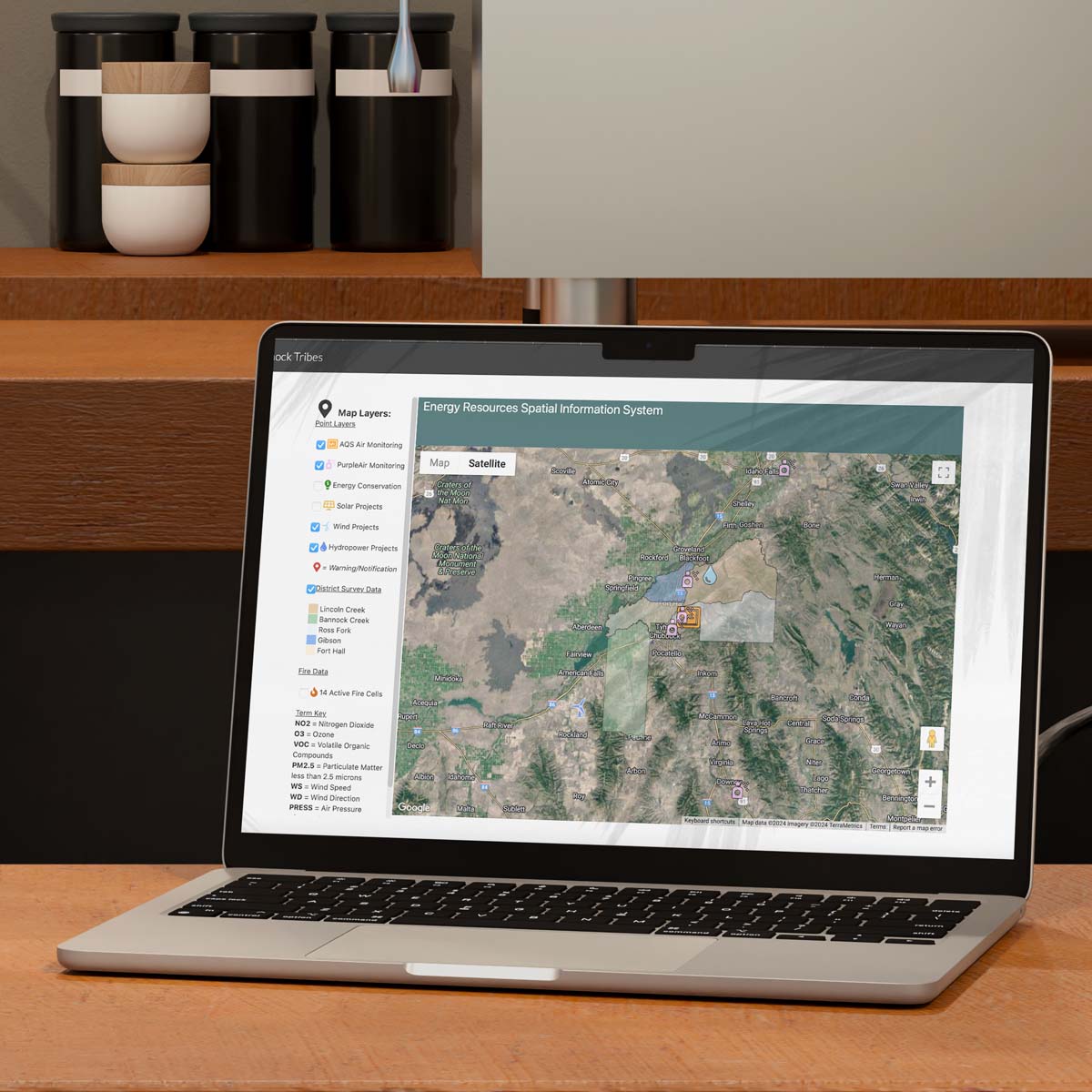
Air Quality Public Data Map
The Land Use Department has worked to create a Air Quality Public Data Map using interactive elements.
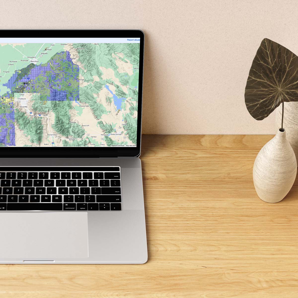
Public Parcel Viewer
The Land Use Program allows limited views of public land data. This initial map is in beta mode while we gather feedback on parcel items to show.
News & Highlights.
Contact Us.
Contact Us
Jamie Hansen
Land Transaction Surveyor
jhansen@sbtribes.com
P: (208)478-3706
P.O. Box 306
Fort Hall, ID 83203
Working With Tribal Departments.
The SBT LU GIS program provides a mechanism for Tribal departments to provide services to the general membership and community members while managing the Tribes land resources collaboratively.